.JPG)
Directions
There are a number of ways to get onto the Island (Flying, the Wood Island Ferry and Confederation Bridge). Here are directions from each:
From Charlottetown
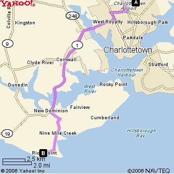
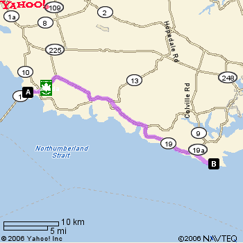
From Confederation Bridge to Harrington House 42.2km (26.2mi)
1. Head East on
2. Turn left at
3. Take the 1st right onto Route 1 – travel ~25.6 km
4. Slight right at Route 19 (Desable) – travel ~11.7 km
5. Turn right to stay on Route 19 (Canoe Cove School House on Left) – travel ~4.8 km
6. Turn right at
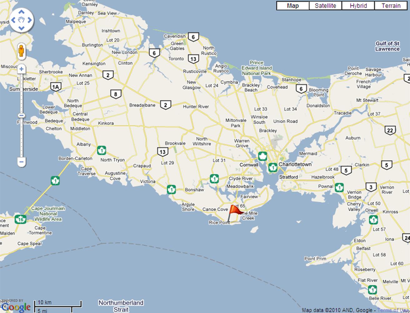
Arrive at HARRINGTON HOUSE at Rice Point
.jpg)
Photo provided by Ken Reed (all rights reserved)
Google Earth Coordinates:
long 46.134171
lat -63.246174
PDF Maps
Download Map from Charlottetown
Download Map from the Bridge (Borden-Carleton)
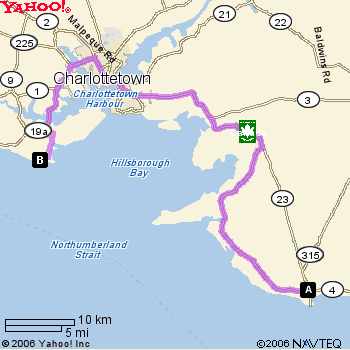
From Wood Islands Ferry to Harrington House 83.7km (52mi)
1. Starting on WOOD ISLANDS RD[HWY-315] - go < 0.1km (0.1mi)
2. Turn on HWY-1 - go 71.0km (44.1mi)
3. LH turn on #19 (Meadowbank Road), stay on #19 across causeway (approx 6.5km)
4. LH turn to stay on #19 . . . #19 becomes 19A if you continue straight (approx 1.4km)